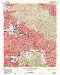
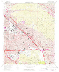
1966 Map of Burbank
USGS Topo · Published 1994About this map
The Burbank area is captured here during a period of massive mid-century growth and industrialization, with the burgeoning entertainment industry firmly established in the San Fernando Valley. The landscape is dominated by the sprawling complexes of the Warner Bros Studios, Disney Studios, and NBC-TV Studios, alongside the massive Universal Studios lot near Cahuenga Pass. The infrastructure of the region is centered on the Burbank-Glendale-Pasadena Airport and the extensive freeway network, including the Golden State Freeway and Ventura Freeway.
Find a feature on this map
110 named features on this map. Tap any name to fly to it.
Don’t see what you’re looking for? This feature index may not catch every label — zoom into the map to look around manually.
Map Details
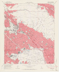
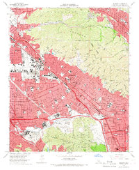
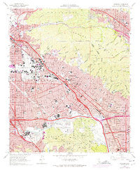
Editions of this 1966 Burbank Map
5 editions found
Other maps of this area

1894 · Los Angeles
USGS Topo · 1:62,500

1896 · Pasadena
USGS Topo · 1:62,500

1896 · Santa Monica
USGS Topo · 1:62,500

1898 · Santa Monica
USGS Topo · 1:62,500

1900 · Pasadena
USGS Topo · 1:62,500

1900 · Tujunga
USGS Topo · 1:62,500

1900 · Los Angeles
USGS Topo · 1:62,500

1900 · Fernando
USGS Topo · 1:62,500

1901 · Southern California Sheet No. 1
USGS Topo · 1:250,000

1902 · Santa Monica
USGS Topo · 1:62,500