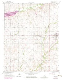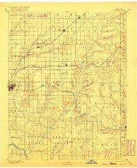
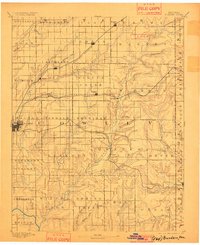
1889 Map of Burden
USGS Topo · Published 1920About this map
Winfield serves as the primary hub on this late 19th-century survey of Cowley County, situated at the junction of developing transport routes. The landscape is defined by a dense network of waterways like Timber Creek and Rock Creek, which carved the prairie into the numerous townships shown here, including Silver Creek and Otter. This era captures a critical moment of western expansion as three distinct rail lines—the Kansas City and Southwestern Railroad, the Southern Kansas Railroad, and the Denver Memphis and Atlantic Railroad—converge to connect small farming settlements such as Burden, Atlanta, and Dexter. The map illustrates the early township system and the strategic placement of villages along these tracks and rivers, including the Arkansas River in the southwest corner. Researchers can trace the emergence of local crossroads like New Salem and Floral before decades of agricultural consolidation changed the rural footprint.
Find a feature on this map
65 named features on this map. Tap any name to fly to it.
Don’t see what you’re looking for? This feature index may not catch every label — zoom into the map to look around manually.
Map Details
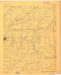
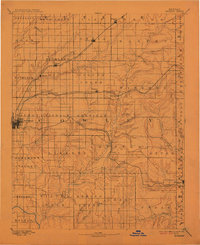
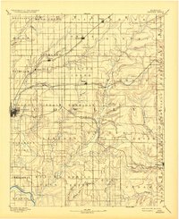
Editions of this 1889 Burden Map
6 editions found

Historical Maps of Winfield Through Time
7 maps found