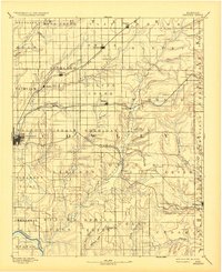
1889 Map of Burden
USGS Topo · Published 1932About this map
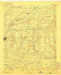
The Arkansas River cuts through the southwestern corner of this 1880s landscape, a region defined by the rapid expansion of the steam rail era. Three distinct rail lines converge on the county seat of Winfield, including the Kansas City and South Western Railroad and the Southern Kansas Railroad. These iron arteries connected small agricultural hubs like Burden, Dexter, and Atlanta to larger markets, shaping the early township boundaries of Silver Creek, Walnut, and Otter.
Find a feature on this map
67 named features on this map. Tap any name to fly to it.
Don’t see what you’re looking for? This feature index may not catch every label — zoom into the map to look around manually.
Map Details
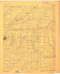
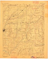
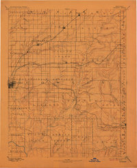
Editions of this 1889 Burden Map
6 editions found
Other maps of this area

1885 · Eureka
USGS Topo · 1:125,000

1885 · Sedan
USGS Topo · 1:125,000

1888 · Eureka
USGS Topo · 1:125,000

1888 · Eldorado
USGS Topo · 1:125,000

1889 · Burden
USGS Topo · 1:125,000

1889 · Sedan
USGS Topo · 1:125,000

1889 · Wichita
USGS Topo · 1:125,000

1890 · Wellington
USGS Topo · 1:125,000

1894 · Wichita
USGS Topo · 1:125,000

1894 · Eureka
USGS Topo · 1:125,000