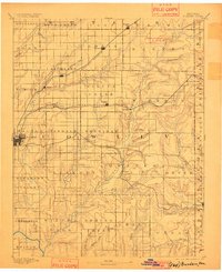
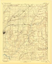
1889 Map of Burden
USGS Topo · Published 1901About this map
Winfield serves as a primary hub for this late nineteenth-century portrait of Cowley County, where three major rail lines converge across a landscape of townships and creek valleys. The Southern Kansas Railroad bisects the region, connecting the eponymous Burden with New Salem and Torrance. To the north, the Kansas City and South Western Railroad passes through Wilmot and Floral, while the Denver Memphis and Atlantic Railroad snakes through the southern portion of the sheet toward Dexter. This network of iron and steam supported a frontier economy transitioning into established agricultural townships like Richland and Silver Creek. The topography is defined by the drainage of Grouse Creek and Rock Creek, with many smaller settlements such as Atlanta and Wingate shown at their earliest stages of development.
Find a feature on this map
65 named features on this map. Tap any name to fly to it.
Don’t see what you’re looking for? This feature index may not catch every label — zoom into the map to look around manually.
Map Details
Editions of this 1889 Burden Map
6 editions found
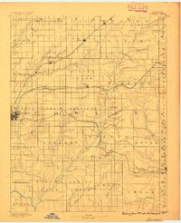
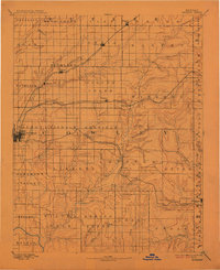
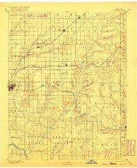
Other maps of this area

1885 · Eureka
USGS Topo · 1:125,000

1885 · Sedan
USGS Topo · 1:125,000

1888 · Eureka
USGS Topo · 1:125,000

1888 · Eldorado
USGS Topo · 1:125,000

1889 · Burden
USGS Topo · 1:125,000

1889 · Sedan
USGS Topo · 1:125,000

1889 · Wichita
USGS Topo · 1:125,000

1890 · Wellington
USGS Topo · 1:125,000

1894 · Wichita
USGS Topo · 1:125,000

1894 · Eureka
USGS Topo · 1:125,000