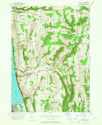
1950 Map of Burdett
USGS Topo · Published 1967About this map
Seneca Lake defines the western edge of this mid-century landscape, where the terrain rises sharply from the shoreline toward Satterly Hill and Burnt Hill. The village of Burdett sits at the heart of the district, situated where Burdett Creek cuts through the high ground. The map captures a transition in regional transportation, showing the established tracks of the Lehigh Valley and Pennsylvania railroads alongside a maturing network of local roads like Mathews Road and Mecklenburg Road.
Find a feature on this map
48 named features on this map. Tap any name to fly to it.
Don’t see what you’re looking for? This feature index may not catch every label — zoom into the map to look around manually.
Map Details
Editions of this 1950 Burdett Map
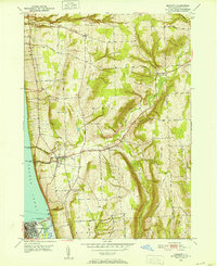
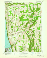
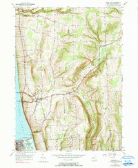
4 editions found
Other maps of this area

1893 · Ithaca
USGS Topo · 1:62,500

1895 · Ithaca
USGS Topo · 1:62,500

1898 · Watkins Glen
USGS Topo · 1:62,500

1901 · Watkins
USGS Topo · 1:62,500

1902 · Genoa
USGS Topo · 1:62,500

1902 · Ovid
USGS Topo · 1:62,500

1905 · Watkins Glen
USGS Topo · 1:125,000

1942 · Dundee
USGS Topo · 1:24,000

1942 · Lodi
USGS Topo · 1:24,000

1942 · Trumansburg
USGS Topo · 1:24,000