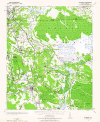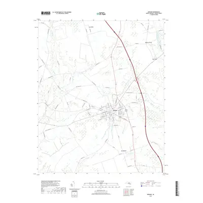
1981 Map of Burgaw
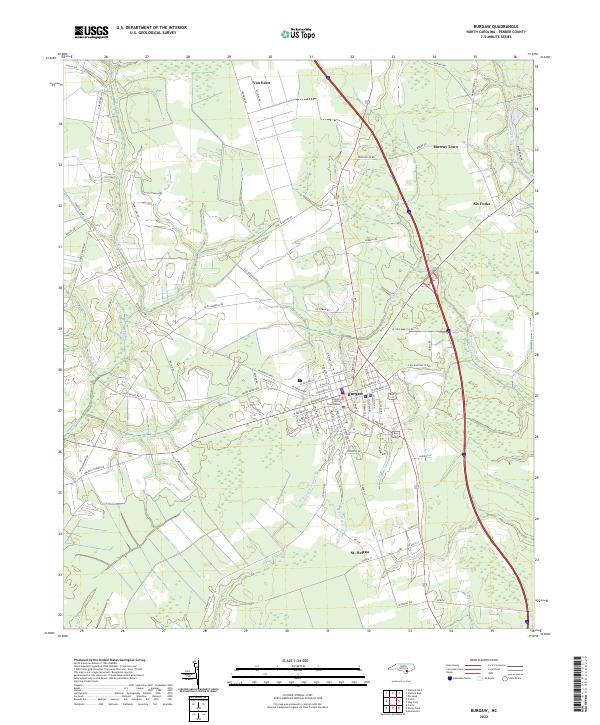
USGS Topo · Published 1992About this map
The Pender County seat of Burgaw serves as the central hub of this coastal plain landscape, where the Seaboard Coast Line railroad dictates the orientation of small agricultural settlements and rural industry. The map captures the distinct cultural geography of the area, from the grid-like organization of St Helena to the outlying communities of Van Eden and Murray Town. Religious and educational infrastructure is well-documented, with numerous country churches such as Coras Grove Ch, Mt Sinai Ch, and SS Peter and Paul Ch serving as community anchors alongside the local Jr High Sch. Drainage patterns are defined by the slow-moving waters of Burgaw Creek and Long Creek, eventually feeding into the Northeast Cape Fear River at the eastern edge. This survey reveals a transition between established town life and the surrounding woodlands, where local industry is represented by scattered Quarries and proximity to the Northeast Cape Fear River floodplain.
Find a feature on this map
40 named features on this map. Tap any name to fly to it.
Don’t see what you’re looking for? This feature index may not catch every label — zoom into the map to look around manually.
Map Details
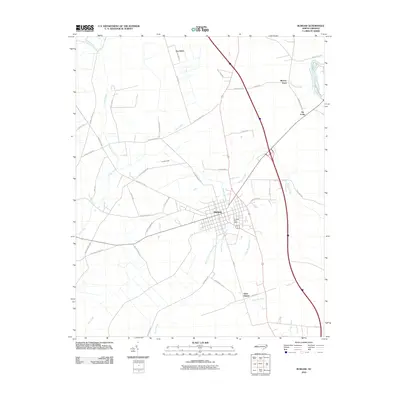
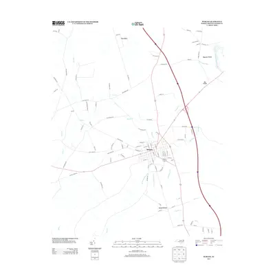
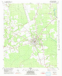
Editions of this 1981 Burgaw Map
2 editions found
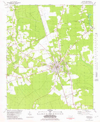
Historical Maps of Burgaw Through Time
7 maps found