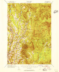
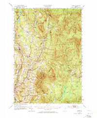
1951 Map of Burke
USGS Topo · Published 1956About this map
The Passumpsic River and Canadian Pacific railroad corridor serve as the primary artery through this Vermont landscape, connecting the hill towns of the Northeast Kingdom. This 1951 survey documents a region characterized by upland farming and timber harvesting, with small clusters like Newark Street and Burke Hollow maintaining their local identity through community landmarks such as Newark Street Sch and the Burke Green Cem. The southeastern portion is dominated by the prominent peaks of Burke Mountain and Umpire Mountain, with much of the terrain protected within Darling State Forest Park. To the east, the Moose River valley supports scattered milling operations, including Moccasin Mill and Gallup Mills, reflecting the era's reliance on river-fed industry in these remote mountain valleys.
Find a feature on this map
119 named features on this map. Tap any name to fly to it.
Don’t see what you’re looking for? This feature index may not catch every label — zoom into the map to look around manually.
Map Details
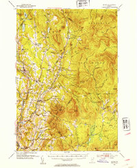
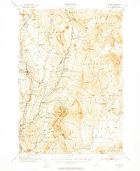
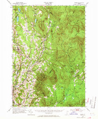
Editions of this 1951 Burke Map
6 editions found

Other maps of this area

1900 · Whitefield
USGS Topo · 1:62,500

1919 · Lake Memphremagog
USGS Topo · 1:62,500

1920 · Derby
USGS Topo · 1:62,500

1920 · Guildhall
USGS Topo · 1:62,500

1923 · Lake Memphremagog
USGS Topo · 1:48,000

1924 · Island Pond
USGS Topo · 1:48,000

1925 · Memphremagog
USGS Topo · 1:62,500

1926 · Island Pond
USGS Topo · 1:62,500

1929 · Averill
USGS Topo · 1:62,500

1931 · Guildhall
USGS Topo · 1:48,000