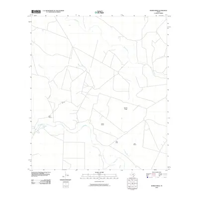
2010 Map of Burkes Ridge
USGS Topo · Published 2010About this map
Burkes Ridge rises above the South Texas coastal plain, defining a landscape etched by the drainage networks of the Aransas River, Medio Creek, and Spring Creek. This 2010 survey reflects a rural environment where landform names such as Panther Hollow, Moss Gully, and Burk Hollow reveal a localized geography often tied to early ranching and settlement history.
Find a feature on this map
11 named features on this map. Tap any name to fly to it.
Don’t see what you’re looking for? This feature index may not catch every label — zoom into the map to look around manually.
Map Details
Editions of this 2010 Burkes Ridge Map
This is the sole edition of this map. No revisions or reprints were ever made.
Other maps of this area

1953 · Beeville
USGS Topo · 1:250,000

1954 · Skidmore
USGS Topo · 1:62,500

1954 · Woodsboro
USGS Topo · 1:62,500

1954 · Sinton
USGS Topo · 1:62,500

1954 · Refugio
USGS Topo · 1:62,500

1956 · Beeville
USGS Topo · 1:250,000

1960 · Beeville
USGS Topo · 1:250,000

1978 · Cranell
USGS Topo · 1:24,000

1978 · Refugio SW
USGS Topo · 1:24,000

1979 · Burkes Ridge
USGS Topo · 1:24,000