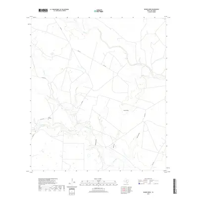
2019 Map of Burkes Ridge
USGS Topo · Published 2019About this map
The Aransas River winds through this Bee County landscape, marking the southern reaches of the quadrangle where the terrain is carved by natural drainages like Moss Gully and Panther Hollow. The area is characterized by open ranchland and a sparse network of rural routes, including Wicker Rd and Guajolote Rd, which connect the elevated terrain of Burkes Ridge to the surrounding lowlands. A significant point of interest for genealogists and local historians is the Campo Santo Cem, located near the northern banks of the river. The presence of features such as Corrigan Hole along the river and various seasonal creeks like Medio Cr and Spring Cr illustrates a landscape defined by its hydrography and agricultural utility in the late 2010s.
Find a feature on this map
15 named features on this map. Tap any name to fly to it.
Don’t see what you’re looking for? This feature index may not catch every label — zoom into the map to look around manually.
Map Details
Editions of this 2019 Burkes Ridge Map
This is the sole edition of this map. No revisions or reprints were ever made.
Other maps of this area

1953 · Beeville
USGS Topo · 1:250,000

1954 · Skidmore
USGS Topo · 1:62,500

1954 · Woodsboro
USGS Topo · 1:62,500

1954 · Sinton
USGS Topo · 1:62,500

1954 · Refugio
USGS Topo · 1:62,500

1956 · Beeville
USGS Topo · 1:250,000

1960 · Beeville
USGS Topo · 1:250,000

1978 · Cranell
USGS Topo · 1:24,000

1978 · Refugio SW
USGS Topo · 1:24,000

1979 · Burkes Ridge
USGS Topo · 1:24,000