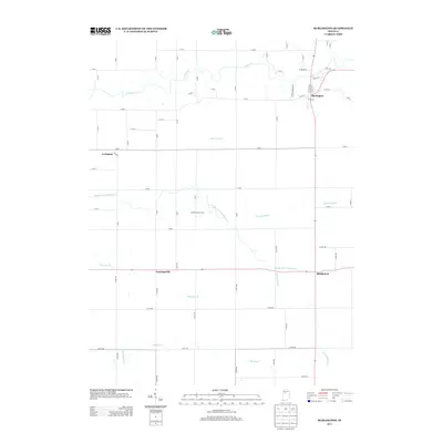
2013 Map of Burlington
USGS Topo · Published 2013About this map
Burlington anchors the northeast corner of this Carroll County landscape, where the town grid meets the winding course of Wildcat Cr. The surrounding area is defined by a dense network of water management features and small agricultural settlements, reflecting the region's long-standing drainage and farming history. Small communities like Geetingsville, Middlefork, and Lexington are spaced across the rural landscape, connected by a rectangular grid of county roads.
Find a feature on this map
64 named features on this map. Tap any name to fly to it.
Don’t see what you’re looking for? This feature index may not catch every label — zoom into the map to look around manually.
Map Details
Editions of this 2013 Burlington Map
This is the sole edition of this map. No revisions or reprints were ever made.
Other maps of this area

1953 · Danville
USGS Topo · 1:250,000

1955 · Danville
USGS Topo · 1:250,000

1956 · Danville
USGS Topo · 1:250,000

1959 · Young America
USGS Topo · 1:24,000

1961 · Michigantown
USGS Topo · 1:24,000

1961 · Russiaville
USGS Topo · 1:24,000

1961 · Hillisburg
USGS Topo · 1:24,000

1961 · Rossville
USGS Topo · 1:24,000

1961 · Burlington
USGS Topo · 1:24,000

1961 · Frankfort
USGS Topo · 1:24,000