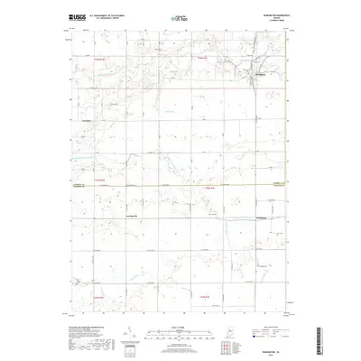
2019 Map of Burlington
USGS Topo · Published 2019About this map
Burlington serves as the primary hub in this portion of Indiana, situated where several local roads converge near the banks of Wildcat Creek. The landscape transition from Carroll County into Clinton County is defined by a dense network of agricultural drainages and small waterways, including Hurricane Cr and the Middle Fork Wildcat Creek. This topography illustrates the importance of managed water flow in the region, evidenced by numerous named ditches such as Harness Ditch and Whiteman Ditch. For those tracing local heritage, the map is punctuated by several small burial sites, including Asbury Cem in the north and Old Chaney Cem in the southwest near Lexington. The rural settlement pattern is anchored by smaller communities like Geetingsville and Middlefork, which remain connected by a grid of county roads that have supported these farming townships for generations.
Find a feature on this map
72 named features on this map. Tap any name to fly to it.
Don’t see what you’re looking for? This feature index may not catch every label — zoom into the map to look around manually.
Map Details
Editions of this 2019 Burlington Map
This is the sole edition of this map. No revisions or reprints were ever made.
Other maps of this area

1953 · Danville
USGS Topo · 1:250,000

1955 · Danville
USGS Topo · 1:250,000

1956 · Danville
USGS Topo · 1:250,000

1959 · Young America
USGS Topo · 1:24,000

1961 · Michigantown
USGS Topo · 1:24,000

1961 · Russiaville
USGS Topo · 1:24,000

1961 · Hillisburg
USGS Topo · 1:24,000

1961 · Rossville
USGS Topo · 1:24,000

1961 · Burlington
USGS Topo · 1:24,000

1961 · Frankfort
USGS Topo · 1:24,000