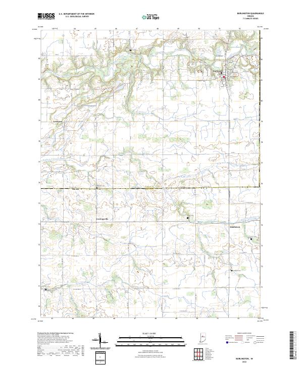
2022 Map of Burlington
USGS Topo · Published 2022About this map
Wildcat Creek meanders through the northern reaches of this landscape, defining the rural character of the borderlands between Carroll and Clinton counties. The village of Burlington serves as a local hub along S State Rd 29, while smaller settlements like Lexington, Geetingsville, and Middlefork are scattered across the agricultural grid. This modern survey reflects a deeply rooted community infrastructure, documented through a significant number of family and community burial grounds including Asbury Cem, Grays Cem, and Sims Cem. The land is meticulously drained by a network of engineered waterways such as Harness Ditch, Whiteman Ditch, and Biery Ditch, which support the productive farm fields of the Middle Fork Wildcat Creek basin.
Find a feature on this map
66 named features on this map. Tap any name to fly to it.
Don’t see what you’re looking for? This feature index may not catch every label — zoom into the map to look around manually.
Map Details
Editions of this 2022 Burlington Map
This is the sole edition of this map. No revisions or reprints were ever made.
Other maps of this area

1953 · Danville
USGS Topo · 1:250,000

1955 · Danville
USGS Topo · 1:250,000

1956 · Danville
USGS Topo · 1:250,000

1959 · Young America
USGS Topo · 1:24,000

1961 · Michigantown
USGS Topo · 1:24,000

1961 · Russiaville
USGS Topo · 1:24,000

1961 · Hillisburg
USGS Topo · 1:24,000

1961 · Rossville
USGS Topo · 1:24,000

1961 · Burlington
USGS Topo · 1:24,000

1961 · Frankfort
USGS Topo · 1:24,000