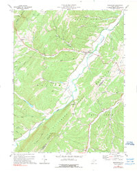
1972 Map of Burlington
USGS Topo · Published 1975About this map
Patterson Creek carves a central valley through this section of the Potomac Highlands, separating the prominent ridges of Knobley Mountain and Mill Creek Mountain. In the early 1970s, the rural character of the region is defined by small settlements like Burlington and Ridgeville and a network of namesake runs. The map reveals a deeply rooted community landscape where local life centered on small country churches such as Lone Star Ch, Kelley Chapel, and Elijah High Ch.
Find a feature on this map
42 named features on this map. Tap any name to fly to it.
Don’t see what you’re looking for? This feature index may not catch every label — zoom into the map to look around manually.
Map Details
Editions of this 1972 Burlington Map
2 editions found
Other maps of this area

1891 · Romney
USGS Topo · 1:125,000

1895 · Piedmont
USGS Topo · 1:125,000

1919 · Elk Garden
USGS Topo · 1:48,000

1920 · Elk Garden
USGS Topo · 1:48,000

1920 · Moorefield
USGS Topo · 1:62,500

1920 · Keyser
USGS Topo · 1:62,500

1921 · Keyser
USGS Topo · 1:48,000

1921 · Greenland Gap
USGS Topo · 1:62,500

1921 · Moorefield
USGS Topo · 1:48,000

1922 · Elk Garden
USGS Topo · 1:62,500