
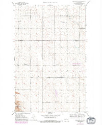
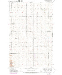
1949 Map of Burlington NW
USGS Topo · Published 1949About this map
The borderlands of Renville Co and Ward Co define this northern plains landscape as it appeared in the late 1940s. A network of rural section lines organizes the territory into distinct townships including Muskego, Van Buren, St Marys, and Waterford. This survey reveals a high density of one-room schoolhouses essential to the agrarian community of the era, such as School No 3 and the specifically named Stamen School No 2. In the southwest corner, the map provides a glimpse of the Upper Souris National Wildlife Refuge, where the terrain transitions toward the water management and conservation zones along the Souris River valley. The numerous depressions and small potholes across the quadrangle indicate the characteristic glacial prairie pothole region of North Dakota.
Find a feature on this map
11 named features on this map. Tap any name to fly to it.
Don’t see what you’re looking for? This feature index may not catch every label — zoom into the map to look around manually.
Map Details
Editions of this 1949 Burlington NW Map
3 editions found
Other maps of this area

1948 · Burlington
USGS Topo · 1:24,000

1948 · Lansford
USGS Topo · 1:62,500

1948 · Burlington
USGS Topo · 1:62,500

1948 · Lansford SW
USGS Topo · 1:24,000

1949 · Lansford SW
USGS Topo · 1:24,000

1949 · Carpio NE
USGS Topo · 1:24,000

1949 · Grano
USGS Topo · 1:24,000

1949 · Lansford SE
USGS Topo · 1:24,000

1949 · Burlington SE
USGS Topo · 1:24,000
1949 · Burlington NE
USGS Topo · 1:24,000