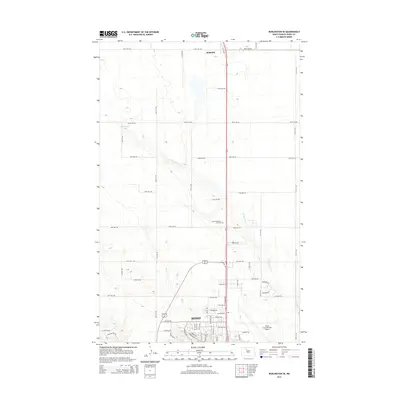
2014 Map of Burlington SE
USGS Topo · Published 2014About this map
Minot expands across the southern portion of this 2014 survey, showcasing the modern urban-rural interface of Ward County. The landscape is defined by the steady northward progression of residential developments and the significant presence of the Minot International Airport. To the north, the small community of Ruthville sits near the upper margin, while the terrain between these hubs remains primarily agricultural, punctuated by Livingston Lake and the winding course of Livingston Cr. The map documents a highly organized grid of rural roads, such as 128th Ave NW and 46th Ave NE, which segment the prairie landscape as it transitions from the city's edge toward the open plains. Local landmarks like Sunset Memorial Gardens and several new residential clusters like Rolling Hills Dr illustrate the mid-2010s growth patterns in this North Dakota corridor.
Find a feature on this map
41 named features on this map. Tap any name to fly to it.
Don’t see what you’re looking for? This feature index may not catch every label — zoom into the map to look around manually.
Map Details
Editions of this 2014 Burlington SE Map
This is the sole edition of this map. No revisions or reprints were ever made.
Other maps of this area

1928 · Minot
USGS Topo · 1:62,500

1929 · Sawyer
USGS Topo · 1:62,500

1948 · Burlington
USGS Topo · 1:24,000

1948 · Burlington
USGS Topo · 1:62,500

1948 · Minot NW
USGS Topo · 1:24,000

1948 · Surrey
USGS Topo · 1:24,000

1949 · Burlington NW
USGS Topo · 1:24,000

1949 · Minot NW
USGS Topo · 1:24,000

1949 · Deering NW
USGS Topo · 1:24,000

1949 · Deering SW
USGS Topo · 1:24,000