Loading...
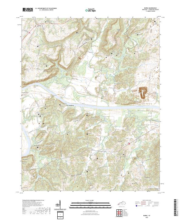
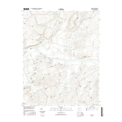
Loading map...2022 Map of Burna
USGS Topo · Published 2022About this map
The Cumberland River carves a dominant path through this Livingston County landscape, defining the character of local life through its complex loops and high vantage points. The river's influence is seen in the naming of riverfront features like Horseshoe Bend and the Vicks Bluffs, providing a dramatic backdrop for the smaller settlements of Vicksburg and Heater. The terrain is remarkably varied, rising from the riverbanks to named peaks such as Vick Hill and Frozen Knob.
Find a feature on this map
128 named features on this map. Tap any name to fly to it.
Don’t see what you’re looking for? This feature index may not catch every label — zoom into the map to look around manually.
Map Details
Date Portrayed2022
Date Published2022
PublisherU.S. Geological Survey
Map TypeTopographic
Scale1:24,000
Physical Dimensions24 x 29 inches
Editions of this 2022 Burna Map
This is the sole edition of this map. No revisions or reprints were ever made.
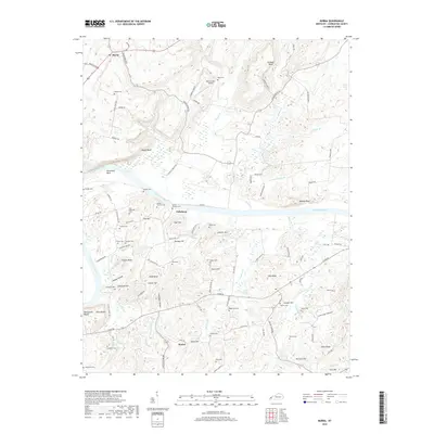
Historical Maps of Mitchell Landing Through Time
6 maps found
Featured Locations
Source Details
SourceU.S. Geological Survey
CopyrightPublic Domain