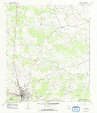
1967 Map of Burnet
USGS Topo · Published 1969About this map
Fort Croghan Historical Site and Post Mountain overlook the city of Burnet in this late 1960s survey of the Texas Hill Country. The landscape shows a mix of frontier heritage and mid-century growth, where the Southern Pacific tracks and an Old Grade Railroad corridor trace the path of historic transport. Institutional life is well-documented near the town center, featuring Burnet High Sch, the Allen Hospital, and Tommy White Park.
Find a feature on this map
35 named features on this map. Tap any name to fly to it.
Don’t see what you’re looking for? This feature index may not catch every label — zoom into the map to look around manually.
Map Details
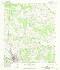
Editions of this 1967 Burnet Map
2 editions found
Other maps of this area

1887 · Burnet
USGS Topo · 1:125,000

1893 · Burnet
USGS Topo · 1:125,000

1903 · Burnet
USGS Topo · 1:125,000

1909 · Burnet
USGS Topo · 1:125,000

1929 · Marble Falls
USGS Topo · 1:62,500

1932 · Tow
USGS Topo · 1:62,500

1932 · Marble Falls
USGS Topo · 1:62,500

1932 · Bertram
USGS Topo · 1:62,500

1954 · Llano
USGS Topo · 1:250,000

1955 · Llano
USGS Topo · 1:250,000