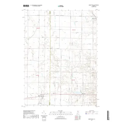
2019 Map of Burnettsville
USGS Topo · Published 2019About this map
Lake Cicott and the village that shares its name anchor the southeastern corner of this landscape, where the land transitions from the water-rich agricultural fields of Cass County into White County. The terrain is defined by an extensive network of engineered drainage, including the Harness Ditch, Galbreath Ditch, and Straughan Ditch, reflecting over a century of land reclamation efforts to support the region's farming heritage. In the south, Burnettsville sits near the winding path of Burnetts Cr, while Royal Center occupies the northeastern reach.
Find a feature on this map
56 named features on this map. Tap any name to fly to it.
Don’t see what you’re looking for? This feature index may not catch every label — zoom into the map to look around manually.
Map Details
Editions of this 2019 Burnettsville Map
This is the sole edition of this map. No revisions or reprints were ever made.
Other maps of this area

1953 · Danville
USGS Topo · 1:250,000

1955 · Danville
USGS Topo · 1:250,000

1956 · Danville
USGS Topo · 1:250,000

1960 · Lucerne
USGS Topo · 1:24,000

1960 · Grass Creek
USGS Topo · 1:24,000

1962 · Buffalo
USGS Topo · 1:24,000

1962 · Burrows
USGS Topo · 1:24,000

1962 · Star City
USGS Topo · 1:24,000

1962 · Burnettsville
USGS Topo · 1:24,000
1962 · Clymers
USGS Topo · 1:24,000