
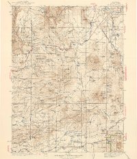
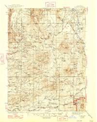
1939 Map of Burney
USGS Topo · Published 1939About this map
Lassen Volcanic National Park anchors the southeast corner of this Shasta County survey, capturing a dramatic volcanic landscape defined by Chaos Jumbles and Reflection Lake just before the mid-century surge in tourism. The terrain is deeply carved by the Pit River and Hat Creek, where the presence of the Old Mill Site and several named mountain ranches like Farnsworth Ranch and Armstrong Ranch suggest a rugged economy of timber and livestock.
Find a feature on this map
210 named features on this map. Tap any name to fly to it.
Don’t see what you’re looking for? This feature index may not catch every label — zoom into the map to look around manually.
Map Details
Editions of this 1939 Burney Map
3 editions found
Other maps of this area

1886 · Lassen Peak
USGS Topo · 1:250,000

1886 · Modoc Lava Bed
USGS Topo · 1:250,000

1886 · Shasta
USGS Topo · 1:250,000

1890 · Red Bluff
USGS Topo · 1:250,000

1892 · Modoc Lava-Bed
USGS Topo · 1:250,000

1892 · Lassen Peak
USGS Topo · 1:250,000

1894 · Lassen Peak
USGS Topo · 1:250,000

1894 · Red Bluff
USGS Topo · 1:250,000

1894 · Shasta
USGS Topo · 1:250,000

1901 · Redding
USGS Topo · 1:125,000