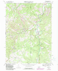
1968 Map of Burnside
USGS Topo · Published 1988About this map
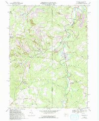
West Branch Susquehanna River carves a winding path through this portion of the Pennsylvania coalfields, where the industrial landscape of the late 1960s and 1970s is defined by extensive extraction. The terrain is marked by numerous Strip Mine operations that flank the river valley and its tributaries like Cush Creek and Bear Run. This activity is supported by the Conrail lines that navigate the hollows, connecting smaller settlements like Glen Campbell and Burnside to the regional rail network.
Find a feature on this map
47 named features on this map. Tap any name to fly to it.
Don’t see what you’re looking for? This feature index may not catch every label — zoom into the map to look around manually.
Map Details
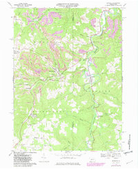
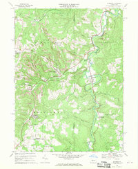
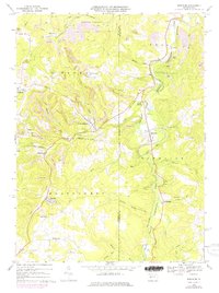
Editions of this 1968 Burnside Map
5 editions found
Other maps of this area

1902 · Patton
USGS Topo · 1:62,500

1902 · Barnesboro
USGS Topo · 1:62,500

1903 · Curwensville
USGS Topo · 1:62,500

1904 · Barnesboro
USGS Topo · 1:62,500

1904 · Patton
USGS Topo · 1:62,500

1906 · Punxsutawney
USGS Topo · 1:62,500

1939 · Curwensville
USGS Topo · 1:62,500

1939 · Punxsutawney
USGS Topo · 1:62,500

1942 · Curwensville
USGS Topo · 1:62,500

1942 · Punxsutawney
USGS Topo · 1:62,500