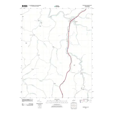
2010 Map of Burnsville
USGS Topo · Published 2010About this map
Burnsville sits at the confluence of the Little Kanawha River and Saltlick Creek, serving as a central point in this Braxton County landscape. The topography is defined by narrow creek valleys and prominent rises like Gabel Knob and Buck Ridge, where small settlements and isolated post offices are linked by winding roads such as Bonnie Rd and Exchange Rd. The rural character of the region is evident in the scattered hamlets of Copen, Exchange, and Rollyson, which maintain their identity even as modern infrastructure like Interstate 79 traverses the terrain.
Find a feature on this map
75 named features on this map. Tap any name to fly to it.
Don’t see what you’re looking for? This feature index may not catch every label — zoom into the map to look around manually.
Map Details
Editions of this 2010 Burnsville Map
This is the sole edition of this map. No revisions or reprints were ever made.
Other maps of this area

1893 · Sutton
USGS Topo · 1:125,000

1906 · Glenville
USGS Topo · 1:62,500

1906 · Burnsville
USGS Topo · 1:62,500

1908 · Gassaway
USGS Topo · 1:48,000

1908 · Sutton
USGS Topo · 1:48,000

1910 · Sutton Special
USGS Topo · 1:62,500

1910 · Gassaway
USGS Topo · 1:62,500

1925 · Glenville
USGS Topo · 1:62,500

1925 · Burnsville
USGS Topo · 1:62,500

1927 · Burnsville
USGS Topo · 1:62,500