
1927 Map of Burnsville
USGS Topo · Published 1927About this map
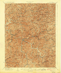
The Little Kanawha River carves through a dense network of valley settlements in this 1920s-era study of central West Virginia. Burnsville serves as a primary hub where the Baltimore and Ohio Railroad meets the river, surrounded by a landscape defined by its rural infrastructure. The map reveals an incredible density of local education and industry, documenting dozens of named schools like Jerseywood School and Singleton School, alongside traditional water-powered sites such as Roalls Mills and Stouts Mills.
Find a feature on this map
148 named features on this map. Tap any name to fly to it.
Don’t see what you’re looking for? This feature index may not catch every label — zoom into the map to look around manually.
Map Details
Editions of this 1927 Burnsville Map
3 editions found
Other maps of this area

1893 · Buckhannon
USGS Topo · 1:125,000

1893 · Sutton
USGS Topo · 1:125,000

1896 · Buckhannon
USGS Topo · 1:125,000

1897 · Buckhannon
USGS Topo · 1:125,000

1904 · Weston
USGS Topo · 1:62,500

1904 · Vadis
USGS Topo · 1:62,500

1906 · Holbrook
USGS Topo · 1:62,500

1906 · Glenville
USGS Topo · 1:62,500

1906 · Burnsville
USGS Topo · 1:62,500

1908 · Gassaway
USGS Topo · 1:48,000