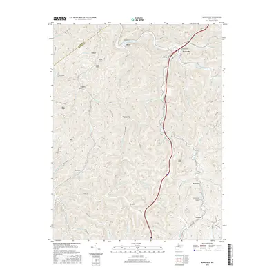
2016 Map of Burnsville
USGS Topo · Published 2016About this map
The Little Kanawha River winds through this Central West Virginia landscape, anchoring the town of Burnsville where the Little Kanawha River Bridge spans the water near Walbash Ave. This mid-2010s survey details the complex system of hollows and runs that define the region, including Shock Hollow, Carter Hollow, and Baker Hollow. Settlement patterns follow the narrow valleys and ridges, with communities like Hyers, Gem, and Heaters established along the primary corridors. For those tracing local history, the map identifies several significant burial grounds, such as the K of P Cem near the river and the Little Kanawha Memorial Gardens further south near Rollyson. High points like Gabel Knob and Buck Ridge overlook a dense network of secondary roads, such as Oil Creek Rd and Copen Rd, which connect the small villages and rural family landmarks.
Find a feature on this map
101 named features on this map. Tap any name to fly to it.
Don’t see what you’re looking for? This feature index may not catch every label — zoom into the map to look around manually.
Map Details
Editions of this 2016 Burnsville Map
This is the sole edition of this map. No revisions or reprints were ever made.
Other maps of this area

1893 · Sutton
USGS Topo · 1:125,000

1906 · Glenville
USGS Topo · 1:62,500

1906 · Burnsville
USGS Topo · 1:62,500

1908 · Gassaway
USGS Topo · 1:48,000

1908 · Sutton
USGS Topo · 1:48,000

1910 · Sutton Special
USGS Topo · 1:62,500

1910 · Gassaway
USGS Topo · 1:62,500

1925 · Glenville
USGS Topo · 1:62,500

1925 · Burnsville
USGS Topo · 1:62,500

1927 · Burnsville
USGS Topo · 1:62,500