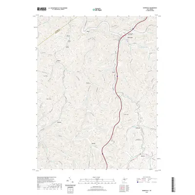
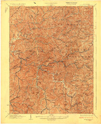
2019 Map of Burnsville
USGS Topo · Published 2019About this map
Burnsville serves as the primary hub of activity in this section of Braxton County, situated along the winding Little Kanawha River. The river's influence is evident in the cluster of infrastructure around the Little-Kanawha River Bridge, where Front St and S Main St form the town's core. Beyond the river flats, the landscape is defined by an intricate network of narrow hollows and ridges, such as Shock Hollow and Baker Hollow, which shaped the placement of scattered settlements and small family-named landmarks.
Find a feature on this map
72 named features on this map. Tap any name to fly to it.
Don’t see what you’re looking for? This feature index may not catch every label — zoom into the map to look around manually.
Map Details
Editions of this 2019 Burnsville Map
This is the sole edition of this map. No revisions or reprints were ever made.
Other maps of this area

1893 · Sutton
USGS Topo · 1:125,000

1906 · Glenville
USGS Topo · 1:62,500
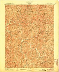
1906 · Burnsville
USGS Topo · 1:62,500
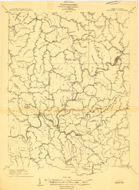
1908 · Gassaway
USGS Topo · 1:48,000
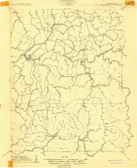
1908 · Sutton
USGS Topo · 1:48,000
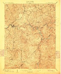
1910 · Sutton Special
USGS Topo · 1:62,500
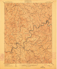
1910 · Gassaway
USGS Topo · 1:62,500
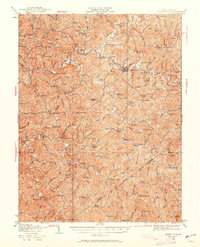
1925 · Glenville
USGS Topo · 1:62,500
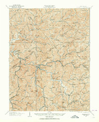
1925 · Burnsville
USGS Topo · 1:62,500
1927 · Burnsville
USGS Topo · 1:62,500