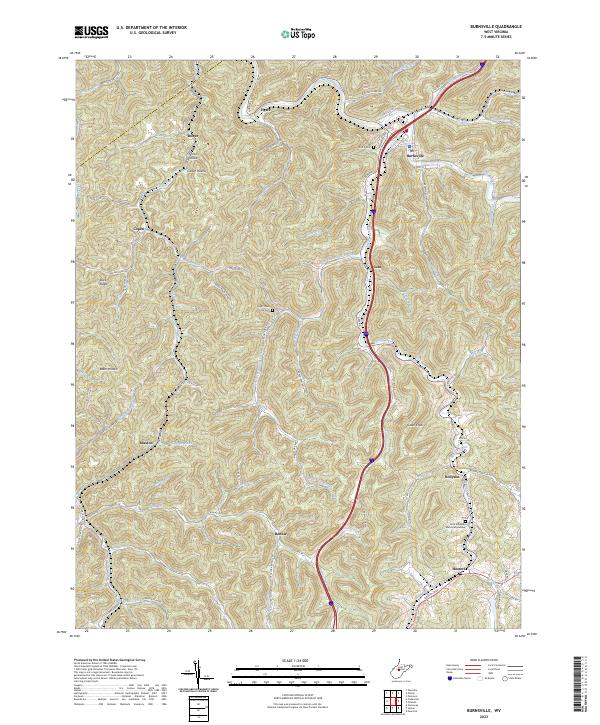
2023 Map of Burnsville
USGS Topo · Published 2023About this map
Burnsville serves as the central hub of this Braxton County landscape, situated where the Little Kanawha River meets Saltlick Creek. The map documents a deeply dissected plateau, where small settlements like Copen, Gem, and Heaters are tucked into narrow valleys formed by a dense network of runs and forks. The road system, including Gem Rd and various county routes, follows these watercourses, illustrating how the terrain has dictated human movement and settlement patterns. Local history is anchored by sites like the K of P Cem and Little Kanawha Memorial Gardens, which alongside names like Hyers and Bower, provide essential touchpoints for genealogists tracing family roots in this part of West Virginia. The transition from valley floors to high points like Gabel Knob highlights the persistent character of this upland region.
Find a feature on this map
93 named features on this map. Tap any name to fly to it.
Don’t see what you’re looking for? This feature index may not catch every label — zoom into the map to look around manually.
Map Details
Editions of this 2023 Burnsville Map
This is the sole edition of this map. No revisions or reprints were ever made.
Other maps of this area

1893 · Sutton
USGS Topo · 1:125,000

1906 · Glenville
USGS Topo · 1:62,500

1906 · Burnsville
USGS Topo · 1:62,500

1908 · Gassaway
USGS Topo · 1:48,000

1908 · Sutton
USGS Topo · 1:48,000

1910 · Sutton Special
USGS Topo · 1:62,500

1910 · Gassaway
USGS Topo · 1:62,500

1925 · Glenville
USGS Topo · 1:62,500

1925 · Burnsville
USGS Topo · 1:62,500

1927 · Burnsville
USGS Topo · 1:62,500