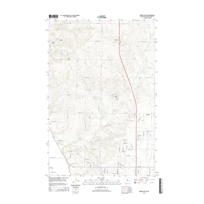
2014 Map of Burnt Butte
USGS Topo · Published 2014About this map
Midway and Arnold anchor this North Dakota landscape where the high prairie gives way to the drainage systems of the Missouri River watershed. The terrain is defined by prominent elevations like Burnt Butte and Coal Butte, which rise above a network of coulees including Cave Coulee and Spring Coulee. Waterways such as Burnt Cr and Hay Cr wind through the region, dictating the historical placement of roads and homesteads. The transition from traditional section-line roads like 175th Ave NW to more modern residential developments is evident in the cluster of newer named streets such as Chokecherry Dr, Lilly Dr, and Sunflower Dr. This pattern indicates the 21st-century suburban expansion extending north from the state capital region into formerly open range and farmland.
Find a feature on this map
70 named features on this map. Tap any name to fly to it.
Don’t see what you’re looking for? This feature index may not catch every label — zoom into the map to look around manually.
Map Details
Editions of this 2014 Burnt Butte Map
This is the sole edition of this map. No revisions or reprints were ever made.
Other maps of this area

1907 · Bismarck
USGS Topo · 1:125,000

1950 · Wilton
USGS Topo · 1:62,500

1950 · Bismarck
USGS Topo · 1:24,000

1951 · Menoken SW
USGS Topo · 1:24,000

1951 · Bismarck
USGS Topo · 1:62,500

1951 · Mandan
USGS Topo · 1:24,000

1951 · Menoken
USGS Topo · 1:62,500

1954 · Bismarck
USGS Topo · 1:250,000

1954 · McClusky
USGS Topo · 1:250,000

1958 · Bismarck
USGS Topo · 1:250,000