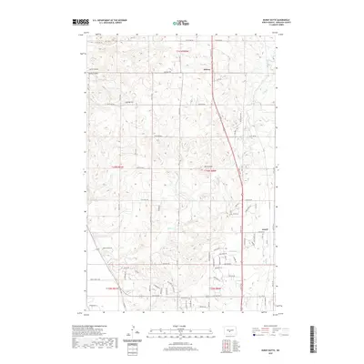
2020 Map of Burnt Butte
USGS Topo · Published 2020About this map
Midway and Arnold anchor this North Dakota landscape north of Bismarck, where the prairie begins to break into the coulees and drainages of the Missouri River valley. The area is characterized by rolling terrain shaped by watercourses like Burnt Cr and Hay Cr, alongside significant landmarks such as Burnt Butte and Coal Butte. These features suggest a history of both ranching and local resource extraction, evidenced further by road names like Parker Ranch Rd and Cattle Dr. The drainage patterns of Cave Coulee and Spring Coulee in the northwest corner reflect the typical erosional topography of Burleigh County. Modern development is visible through a grid of residential and agricultural roads, including Trail Boss Way, Sunflower Dr, and Chokecherry Dr, showing the intersection of traditional land use with contemporary rural settlement patterns.
Find a feature on this map
105 named features on this map. Tap any name to fly to it.
Don’t see what you’re looking for? This feature index may not catch every label — zoom into the map to look around manually.
Map Details
Editions of this 2020 Burnt Butte Map
This is the sole edition of this map. No revisions or reprints were ever made.
Other maps of this area

1907 · Bismarck
USGS Topo · 1:125,000

1950 · Wilton
USGS Topo · 1:62,500

1950 · Bismarck
USGS Topo · 1:24,000

1951 · Menoken SW
USGS Topo · 1:24,000

1951 · Bismarck
USGS Topo · 1:62,500

1951 · Mandan
USGS Topo · 1:24,000

1951 · Menoken
USGS Topo · 1:62,500

1954 · Bismarck
USGS Topo · 1:250,000

1954 · McClusky
USGS Topo · 1:250,000

1958 · Bismarck
USGS Topo · 1:250,000