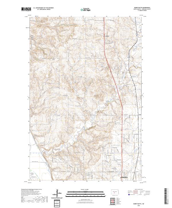
2024 Map of Burnt Butte
USGS Topo · Published 2024About this map
Burnt Creek and its various tributaries, including Spring Coulee and Cave Coulee, carve through the upland plains of Burleigh County just north of the state capital. This survey shows the northern residential expansion of Bismarck toward the community of Arnold, where modern subdivisions like Chokecherry Dr and Sunflower Dr meet the traditional rural landscape. Significant elevation changes are marked by Burnt Butte and Coal Butte, which provide a contrast to the developing residential corridors. The map records a transition from traditional livestock infrastructure, evidenced by Cattle Dr and Parker Ranch Rd, to newer neighborhood loops and residential roads. Small settlements like Midway remain perched along the primary transit lines, serving as points of reference amidst the shifting use of the North Dakota prairie.
Find a feature on this map
51 named features on this map. Tap any name to fly to it.
Don’t see what you’re looking for? This feature index may not catch every label — zoom into the map to look around manually.
Map Details
Editions of this 2024 Burnt Butte Map
This is the sole edition of this map. No revisions or reprints were ever made.
Other maps of this area

1907 · Bismarck
USGS Topo · 1:125,000

1950 · Wilton
USGS Topo · 1:62,500

1950 · Bismarck
USGS Topo · 1:24,000

1951 · Menoken SW
USGS Topo · 1:24,000

1951 · Bismarck
USGS Topo · 1:62,500

1951 · Mandan
USGS Topo · 1:24,000

1951 · Menoken
USGS Topo · 1:62,500

1954 · Bismarck
USGS Topo · 1:250,000

1954 · McClusky
USGS Topo · 1:250,000

1958 · Bismarck
USGS Topo · 1:250,000