Loading...
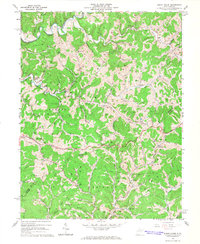
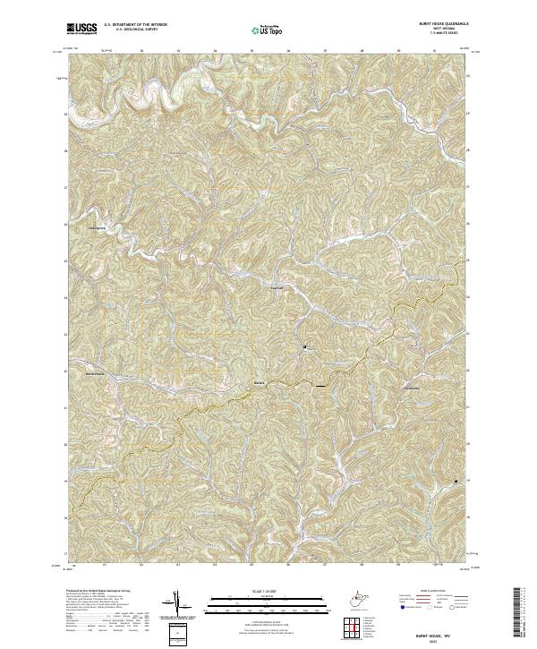
Loading map...1964 Map of Burnt House
USGS Topo · Published 1966About this map
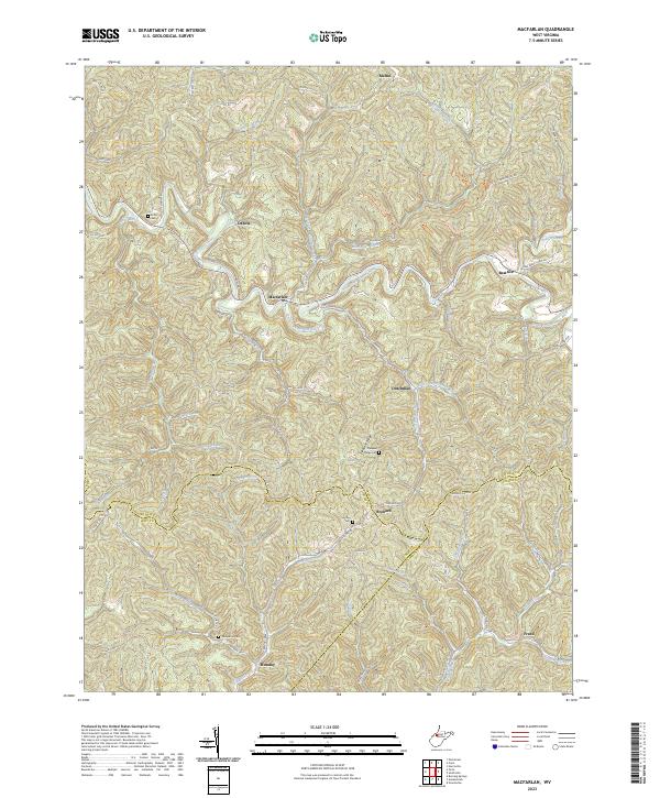
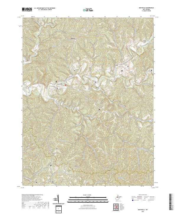
The Hughes River and its labyrinthine drainage system define the landscape of this mid-1960s West Virginia survey, marking the intersection of Ritchie and Gilmer counties. The settlement of Burnt House serves as a central hub in an area characterized by deep hollows and narrow ridges, where winding waterways like Slab Fork, Bone Creek, and Tanner Run dictate the placement of roads and homesteads.
Find a feature on this map
66 named features on this map. Tap any name to fly to it.
Don’t see what you’re looking for? This feature index may not catch every label — zoom into the map to look around manually.
Map Details
Date Portrayed1964
Date Published1966
PublisherU.S. Geological Survey
Map TypeTopographic
Scale1:24,000
Physical Dimensions22 x 26.9 inches
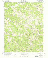
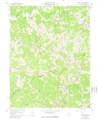
Editions of this 1964 Burnt House Map
3 editions found
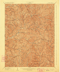
Historical Maps of Racket Through Time
9 maps found

Featured Locations
Source Details
SourceU.S. Geological Survey
CopyrightPublic Domain