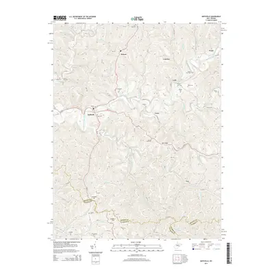
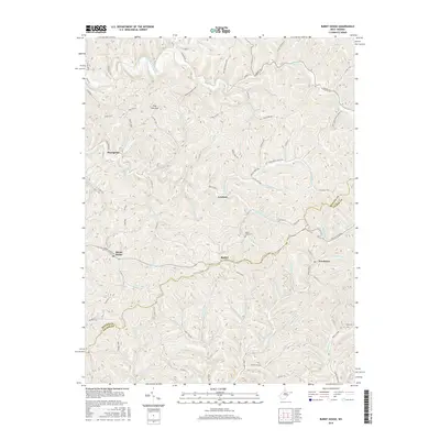
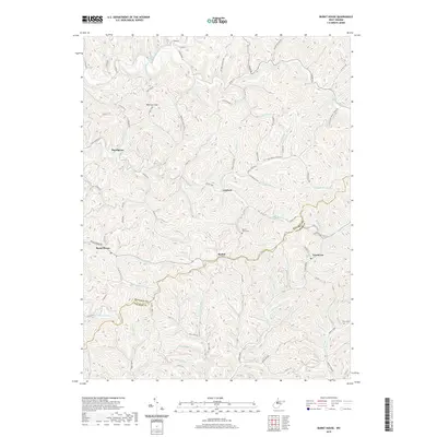
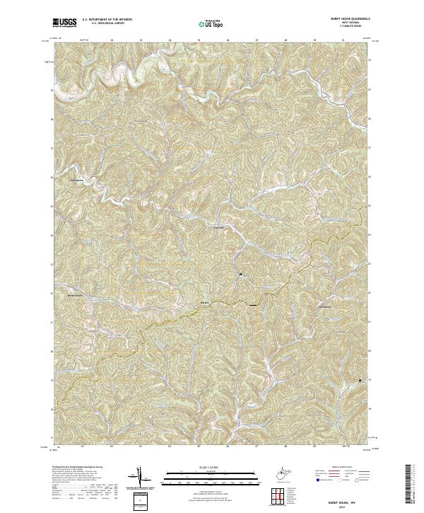
1964 Map of Burnt House
USGS Topo · Published 1975About this map
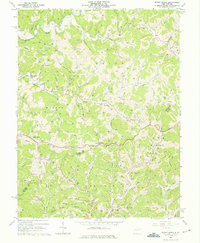
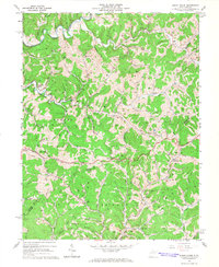
The South Fork Hughes River meanders through the heart of the West Virginia oil and gas country during the mid-1960s. This survey of the Ritchie Co and Gilmer Co border reveals a landscape densely populated by industrial infrastructure, with hundreds of oil and gas wells scattered across the ridges and hollows. Small rural communities like Hazelgreen, Burnt House, and Newborne serve as anchor points for local life, while an extensive network of pipelines and a Pumping Sta reflect the region's economic drivers.
Find a feature on this map
67 named features on this map. Tap any name to fly to it.
Don’t see what you’re looking for? This feature index may not catch every label — zoom into the map to look around manually.
Map Details
Editions of this 1964 Burnt House Map
3 editions found
Historical Maps of Racket Through Time
21 maps found
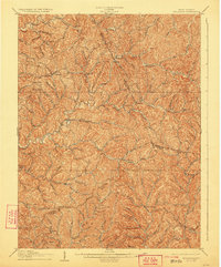
1906 Holbrook
Ritchie County, WV

1924 Holbrook
Ritchie County, WV
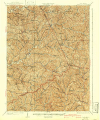
1926 Holbrook
Ritchie County, WV
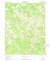
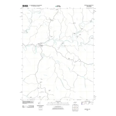
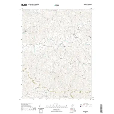
1964 Burnt House
Ritchie County, WV
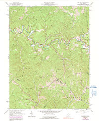
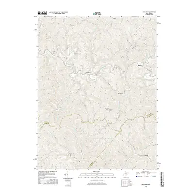
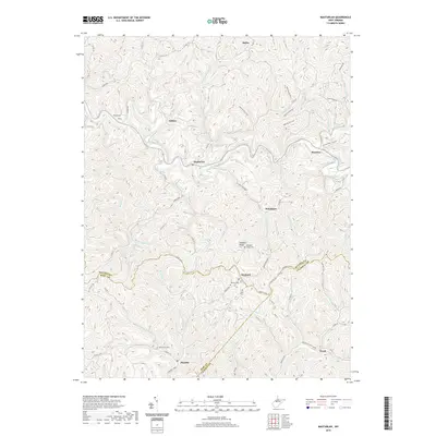
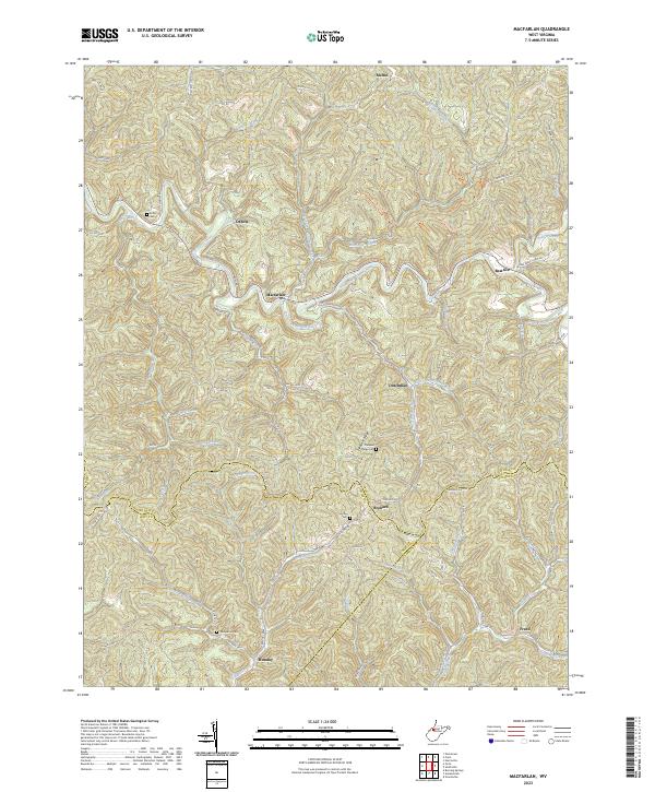
1964 Macfarlan
Ritchie County, WV
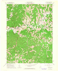
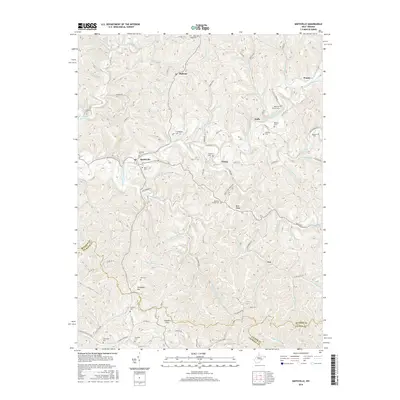
1964 Smithville
Ritchie County, WV
2010 MacFarlan
Ritchie County, WV
2010 Smithville
Ritchie County, WV

2011 Burnt House
Ritchie County, WV
2014 Burnt House
Ritchie County, WV
2014 MacFarlan
Ritchie County, WV
2014 Smithville
Ritchie County, WV
2016 Burnt House
Ritchie County, WV
2016 MacFarlan
Ritchie County, WV
2016 Smithville
Ritchie County, WV
2019 Burnt House
Ritchie County, WV
2019 MacFarlan
Ritchie County, WV
2019 Smithville
Ritchie County, WV
2023 Burnt House
Ritchie County, WV
2023 MacFarlan
Ritchie County, WV
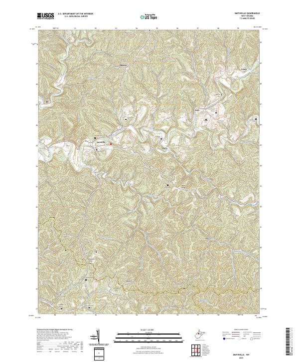
2023 Smithville
Ritchie County, WV