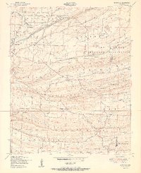
1951 Map of Burnville
USGS Topo · Published 1951About this map
Camp Chaffee Military Reservation dominates the northern half of this mid-century landscape, where its extensive network of tank or target tracks cuts through the ridges south of White Oak Ridge. The southern portion of the sheet reveals a more traditional rural Arkansas settlement pattern, anchored by small communities like Burnville and Milltown. Notable landmarks for family history include the Burnville School and Oak View Farm, alongside several local burial grounds such as Greenwood Cemetery and Dawson Cemetery. The terrain is defined by a series of prominent east-west geological features, most notably Devils Backbone Ridge, Backbone Ridge, and Pinnacle Mountain. These ridges separate the drainage basins of Vache Grasse Creek and Washburn Creek, influencing the placement of early roads like Chismville Road and Auburn Road.
Find a feature on this map
32 named features on this map. Tap any name to fly to it.
Don’t see what you’re looking for? This feature index may not catch every label — zoom into the map to look around manually.
Map Details
Editions of this 1951 Burnville Map
2 editions found
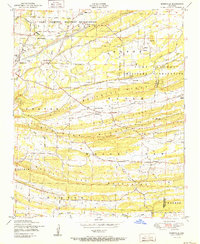
Other maps of this area

1879 · Fort Smith
USGS Topo · 1:62,500

1887 · Van Buren
USGS Topo · 1:62,500

1887 · Greenwood
USGS Topo · 1:62,500

1890 · Fort Smith
USGS Topo · 1:125,000

1906 · Lavaca
USGS Topo · 1:62,500

1906 · Barber
USGS Topo · 1:62,500

1943 · Fort Smith
USGS Topo · 1:125,000

1946 · Fort Smith
USGS Topo · 1:250,000
1946 · Charleston
USGS Topo · 1:24,000

1947 · Lavaca
USGS Topo · 1:62,500