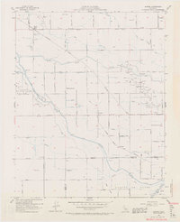
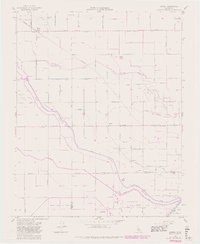
1954 Map of Burrel
USGS Topo · Published 1971About this map
Helm Oil Field and the neighboring Lanare Oil Field define the mid-century industrial landscape of this Fresno County region, where petroleum extraction exists alongside a complex network of agricultural irrigation. The map reveals a highly engineered territory of ditches and sloughs, including the Liberty Millrace and Murphy Slough, which divert water across the San Joaquin Valley floor. Small rural settlements like Burrel and Lanare serve as local hubs along the Southern Pacific and Atchison Topeka and Santa Fe railroad lines.
Find a feature on this map
47 named features on this map. Tap any name to fly to it.
Don’t see what you’re looking for? This feature index may not catch every label — zoom into the map to look around manually.
Map Details
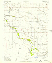
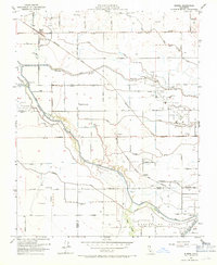
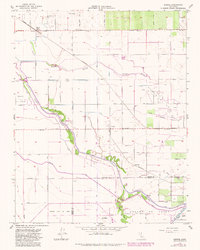
Editions of this 1954 Burrel Map
5 editions found
Other maps of this area

1912 · Coalinga
USGS Topo · 1:125,000

1924 · Riverdale
USGS Topo · 1:31,680

1925 · Helm
USGS Topo · 1:31,680

1925 · Raisin
USGS Topo · 1:31,680

1925 · Caruthers
USGS Topo · 1:31,680

1926 · Lethent
USGS Topo · 1:31,680

1927 · Burrel
USGS Topo · 1:31,680

1927 · Riverdale
USGS Topo · 1:31,680

1927 · Lemoore
USGS Topo · 1:31,680

1931 · Wheatville
USGS Topo · 1:31,680