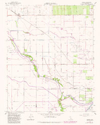
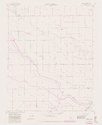
1954 Map of Burrel
USGS Topo · Published 1982About this map
The agrarian landscape of Fresno County at mid-century is defined by a complex network of irrigation ditches and sloughs, centered around the small settlements of Burrel and Lanare. The region is a center of industrial energy extraction, with the Helm Oil Field, Riverdale Oil Field, and Lanare Oil Field dominating the central sections of the survey. Transportation and water management are intricately linked here, visible in the path of the Southern Pacific (Abandoned) line and water control structures like the Stinson Weir.
Find a feature on this map
59 named features on this map. Tap any name to fly to it.
Don’t see what you’re looking for? This feature index may not catch every label — zoom into the map to look around manually.
Map Details
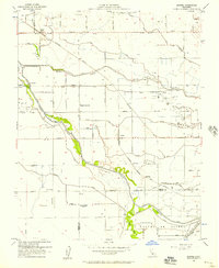
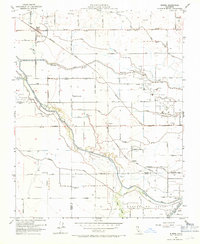
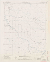
Editions of this 1954 Burrel Map
5 editions found
Other maps of this area

1912 · Coalinga
USGS Topo · 1:125,000

1924 · Riverdale
USGS Topo · 1:31,680

1925 · Helm
USGS Topo · 1:31,680

1925 · Raisin
USGS Topo · 1:31,680

1925 · Caruthers
USGS Topo · 1:31,680

1926 · Lethent
USGS Topo · 1:31,680

1927 · Burrel
USGS Topo · 1:31,680

1927 · Riverdale
USGS Topo · 1:31,680

1927 · Lemoore
USGS Topo · 1:31,680

1931 · Wheatville
USGS Topo · 1:31,680