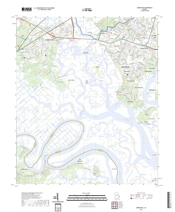
2024 Map of Burroughs
USGS Topo · Published 2024About this map
The Ogeechee River and its meandering coastal tributaries dominate this landscape south of Savannah. Large marshy islands including Savage Island and Steadman Island define the intricate waterway network where the river meets the Georgia coast. This region is a blend of established suburban communities like Georgetown and Windsor Forest alongside significant institutional and military footprints, including a portion of Hunter Army Airfield and the campus of Armstrong State University. Local history is anchored by the presence of Fort McAllister at Genesis Point, a site of critical military importance during the Civil War. Genealogists will find several burial grounds mapped here, including Wild Horn Cem and Emma Grove Cem. The map illustrates the transition from the denser residential development of Cedar Grove and Nicholsonville to the expansive wetlands and protected corridors of Forest River Farms.
Find a feature on this map
59 named features on this map. Tap any name to fly to it.
Don’t see what you’re looking for? This feature index may not catch every label — zoom into the map to look around manually.
Map Details
Editions of this 2024 Burroughs Map
This is the sole edition of this map. No revisions or reprints were ever made.
Other maps of this area

1920 · Meldrim
USGS Topo · 1:62,500

1920 · Limerick
USGS Topo · 1:62,500

1942 · Meldrim
USGS Topo · 1:62,500

1942 · Savannah
USGS Topo · 1:62,500

1944 · Limerick
USGS Topo · 1:62,500

1944 · Ossabaw Island
USGS Topo · 1:62,500

1945 · Ossabaw Island
USGS Topo · 1:62,500

1946 · Brunswick
USGS Topo · 1:250,000

1947 · Savannah
USGS Topo · 1:250,000

1948 · Brunswick
USGS Topo · 1:250,000