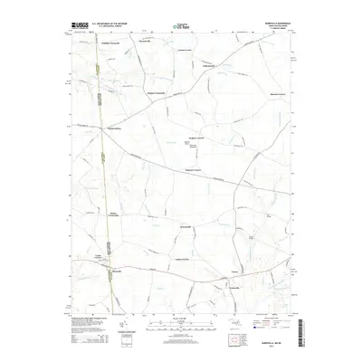
2014 Map of Burrsville
USGS Topo · Published 2014About this map
Burrsville and Whiteleysburg sit directly along the irregular interstate boundary between Kent County, Delaware, and Caroline County, Maryland. This landscape on the Eastern Shore Delmarva Peninsula is defined by a dense network of agricultural crossroads and drainage systems, where small settlements like Hollandsville and Greens Corner are linked by rural routes such as Burnite Mill Rd and Whiteleysburg Rd. The eastern portion of the map is dominated by the winding course of Marshyhope Creek, which is crossed by notable local landmarks including Cahall Bridge and Gut Bridge. Genealogists will find the Union Memorial Cem near Union Corners, providing a focal point for family history in this borderland region. Numerous named prongs and branches, such as Price Prong and Sangston Prong, illustrate the intricate hydrology that has historically dictated the settlement patterns and farm layouts of these neighboring counties.
Find a feature on this map
98 named features on this map. Tap any name to fly to it.
Don’t see what you’re looking for? This feature index may not catch every label — zoom into the map to look around manually.
Map Details
Editions of this 2014 Burrsville Map
This is the sole edition of this map. No revisions or reprints were ever made.
Other maps of this area

1899 · Dover
USGS Topo · 1:125,000

1905 · Denton
USGS Topo · 1:62,500

1905 · Barclay
USGS Topo · 1:62,500

1906 · Dover
USGS Topo · 1:125,000

1918 · Harrington
USGS Topo · 1:62,500

1920 · Dover
USGS Topo · 1:125,000

1926 · Wyoming
USGS Topo · 1:48,000

1930 · Wyoming
USGS Topo · 1:62,500

1931 · Wyoming
USGS Topo · 1:62,500

1944 · Denton
USGS Topo · 1:31,680