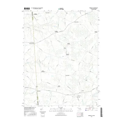
2016 Map of Burrsville
USGS Topo · Published 2016About this map
The Delmarva Peninsula boundary between Maryland and Delaware defines the settlement patterns of this agricultural region, where the line between Caroline County and Kent County bisects several communities. The landscape is heavily defined by its drainage network, featuring a complex system of waterways like Marshyhope Creek, White Marsh Br, and Herron Run that feed into the larger Delmarva watershed. Small rural hubs and named intersections organize the countryside, with locations like Schultie Crossroads, Hughes Crossroads, and Layton Corners serving as focal points for local transport and commerce.
Find a feature on this map
104 named features on this map. Tap any name to fly to it.
Don’t see what you’re looking for? This feature index may not catch every label — zoom into the map to look around manually.
Map Details
Editions of this 2016 Burrsville Map
This is the sole edition of this map. No revisions or reprints were ever made.
Other maps of this area

1899 · Dover
USGS Topo · 1:125,000

1905 · Denton
USGS Topo · 1:62,500

1905 · Barclay
USGS Topo · 1:62,500

1906 · Dover
USGS Topo · 1:125,000

1918 · Harrington
USGS Topo · 1:62,500

1920 · Dover
USGS Topo · 1:125,000

1926 · Wyoming
USGS Topo · 1:48,000

1930 · Wyoming
USGS Topo · 1:62,500

1931 · Wyoming
USGS Topo · 1:62,500

1944 · Denton
USGS Topo · 1:31,680