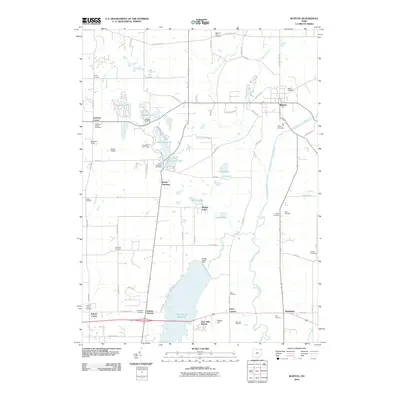
2010 Map of Burton
USGS Topo · Published 2010About this map
The Cuyahoga River and its East Branch carve a path through this landscape, defining the character of Geauga County in the early 21st century. The map reveals a high concentration of cemeteries including Welton Cemetery, Richards Cemetery, and the Amish Cemetery, providing a roadmap for genealogists tracking local families. The presence of Punderson State Park and the Punderson Golf Course illustrates the area's development into a regional recreational destination.
Find a feature on this map
78 named features on this map. Tap any name to fly to it.
Don’t see what you’re looking for? This feature index may not catch every label — zoom into the map to look around manually.
Map Details
Editions of this 2010 Burton Map
This is the sole edition of this map. No revisions or reprints were ever made.
Other maps of this area

1904 · Chardon
USGS Topo · 1:62,500

1905 · Garrettsville
USGS Topo · 1:62,500

1905 · Mentor
USGS Topo · 1:62,500

1906 · Chardon
USGS Topo · 1:62,500

1906 · Chagrin Falls
USGS Topo · 1:62,500

1907 · Garrettsville
USGS Topo · 1:62,500

1907 · Mentor
USGS Topo · 1:62,500

1908 · Chagrin Falls
USGS Topo · 1:62,500

1950 · Cleveland
USGS Topo · 1:250,000

1953 · Chardon
USGS Topo · 1:24,000