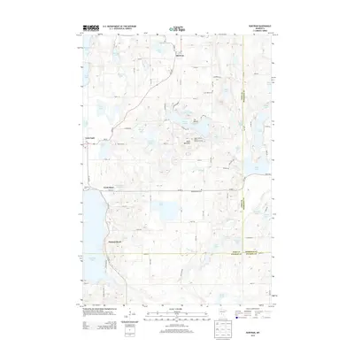
2013 Map of Burtrum
USGS Topo · Published 2013About this map
The town of Burtrum serves as a northern anchor in this lake-heavy landscape where Todd, Morrison, and Stearns Counties converge. The topography is defined by significant glacial features, notably the prominent rise of The Mound and the nearby Eagle Mountain Winter Recreation Area. Settlements like Grey Eagle and the waterfront communities of North Shore and Pleasant Beach illustrate the longstanding residential and recreational draw of these water bodies.
Find a feature on this map
75 named features on this map. Tap any name to fly to it.
Don’t see what you’re looking for? This feature index may not catch every label — zoom into the map to look around manually.
Map Details
Editions of this 2013 Burtrum Map
This is the sole edition of this map. No revisions or reprints were ever made.
Other maps of this area

1947 · Flensburg
USGS Topo · 1:25,000

1950 · Swanville
USGS Topo · 1:62,500

1951 · Flensburg
USGS Topo · 1:25,000

1953 · Saint Cloud
USGS Topo · 1:250,000

1957 · Saint Cloud
USGS Topo · 1:250,000

1958 · Saint Cloud
USGS Topo · 1:250,000

1965 · Albany
USGS Topo · 1:24,000

1965 · Melrose
USGS Topo · 1:24,000

1965 · Freeport
USGS Topo · 1:24,000
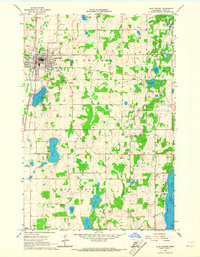
1966 · Long Prairie
USGS Topo · 1:24,000