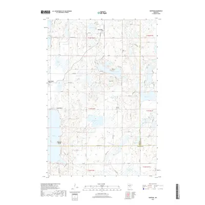
2019 Map of Burtrum
USGS Topo · Published 2019About this map
Glacial topography defines the landscape around Burtrum and Grey Eagle at the meeting of Todd, Morrison, and Stearns Counties. This region is a complex network of wetlands and deep basins, ranging from the sprawling waters of Big Birch Lake to smaller, isolated bodies like Slough Lake, Molly Lake, and Nellies Lake. The terrain is punctuated by distinctive elevations such as Eagle Mtn and The Mound, which rise above the surrounding lake-dotted plains.
Find a feature on this map
101 named features on this map. Tap any name to fly to it.
Don’t see what you’re looking for? This feature index may not catch every label — zoom into the map to look around manually.
Map Details
Editions of this 2019 Burtrum Map
This is the sole edition of this map. No revisions or reprints were ever made.
Other maps of this area

1947 · Flensburg
USGS Topo · 1:25,000

1950 · Swanville
USGS Topo · 1:62,500

1951 · Flensburg
USGS Topo · 1:25,000

1953 · Saint Cloud
USGS Topo · 1:250,000

1957 · Saint Cloud
USGS Topo · 1:250,000

1958 · Saint Cloud
USGS Topo · 1:250,000

1965 · Albany
USGS Topo · 1:24,000

1965 · Melrose
USGS Topo · 1:24,000

1965 · Freeport
USGS Topo · 1:24,000
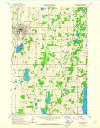
1966 · Long Prairie
USGS Topo · 1:24,000