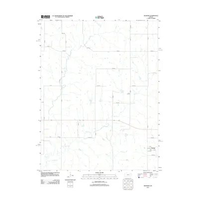
2012 Map of Bushong
USGS Topo · Published 2012About this map
The small settlement of Bushong stands at the eastern edge of this Lyon County landscape, where a grid of rural roads meets the headwaters of the regional drainage system. The terrain is defined by the winding paths of Bluff Cr, Rock Cr, and Wrights Cr, which cut through the agricultural sections and help delineate the property boundaries of the township. Local history and genealogy are anchored by two distinct burial sites: Agnes City Cem in the central-east and Comisky Cem to the west. The map shows the organized layout of the village of Bushong, featuring a clearly defined street grid including Oak St, 1st St, and 4th St. This 2012 survey illustrates a quiet, rural community where the infrastructure remains deeply tied to the natural watercourses that have shaped the land for generations.
Find a feature on this map
30 named features on this map. Tap any name to fly to it.
Don’t see what you’re looking for? This feature index may not catch every label — zoom into the map to look around manually.
Map Details
Editions of this 2012 Bushong Map
This is the sole edition of this map. No revisions or reprints were ever made.
Other maps of this area

1885 · Eskridge
USGS Topo · 1:125,000

1889 · Eskridge
USGS Topo · 1:125,000

1894 · Eskridge
USGS Topo · 1:125,000

1955 · Hutchinson
USGS Topo · 1:250,000

1959 · Hutchinson
USGS Topo · 1:250,000

1971 · Alta Vista SE
USGS Topo · 1:24,000

1971 · Allen
USGS Topo · 1:24,000

1971 · Bushong
USGS Topo · 1:24,000

1971 · Alta Vista
USGS Topo · 1:24,000
1971 · Lake Wabaunsee
USGS Topo · 1:24,000