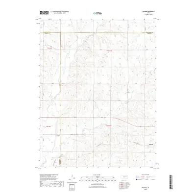
2018 Map of Bushong
USGS Topo · Published 2018About this map
The town of Bushong anchors the southeastern corner of this map, situated along the path of the Flint Hills Nature Trail. This area of the Kansas Flint Hills is defined by its dendritic drainage systems, with Bluff Creek and Rock Creek carving through the landscape. The geography is marked by the intersections of three counties—Lyon, Morris, and Wabaunsee—highlighting the rural coordination of land and property in this region.
Find a feature on this map
39 named features on this map. Tap any name to fly to it.
Don’t see what you’re looking for? This feature index may not catch every label — zoom into the map to look around manually.
Map Details
Editions of this 2018 Bushong Map
This is the sole edition of this map. No revisions or reprints were ever made.
Other maps of this area

1885 · Eskridge
USGS Topo · 1:125,000

1889 · Eskridge
USGS Topo · 1:125,000

1894 · Eskridge
USGS Topo · 1:125,000

1955 · Hutchinson
USGS Topo · 1:250,000

1959 · Hutchinson
USGS Topo · 1:250,000

1971 · Alta Vista SE
USGS Topo · 1:24,000

1971 · Allen
USGS Topo · 1:24,000

1971 · Bushong
USGS Topo · 1:24,000

1971 · Alta Vista
USGS Topo · 1:24,000
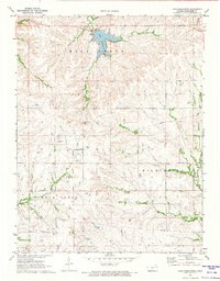
1971 · Lake Wabaunsee
USGS Topo · 1:24,000