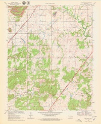
1970 Map of Bushyhead
USGS Topo · Published 1979About this map
The settlement of Bushyhead sits along the St Louis - San Francisco railroad line, serving as a focal point for this 1970 landscape on the border of Rogers and Mayes counties. The area is defined by a mix of established rural infrastructure and active resource extraction, with numerous strip mines, gravel pits, and an oil well dotting the terrain. The presence of several country churches and burial grounds, such as Washington Ch and Dawes Cem, suggests a long-standing community structure rooted in the local topography of the Foyil and Ridger areas.
Find a feature on this map
32 named features on this map. Tap any name to fly to it.
Don’t see what you’re looking for? This feature index may not catch every label — zoom into the map to look around manually.
Map Details
Editions of this 1970 Bushyhead Map
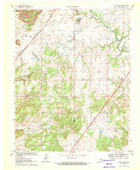
2 editions found
Other maps of this area

1896 · Pryor
USGS Topo · 1:125,000

1901 · Claremore
USGS Topo · 1:125,000

1901 · Nowata
USGS Topo · 1:125,000

1901 · Vinita
USGS Topo · 1:125,000

1901 · Pryor
USGS Topo · 1:125,000

1913 · Vinita
USGS Topo · 1:125,000

1914 · Nowata
USGS Topo · 1:125,000

1914 · Claremore
USGS Topo · 1:125,000

1916 · Claremore
USGS Topo · 1:125,000

1954 · Tulsa
USGS Topo · 1:250,000