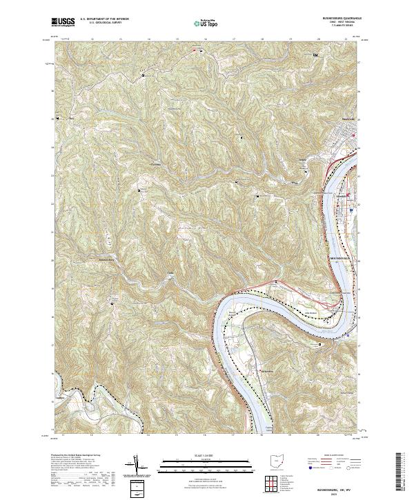
2023 Map of Businessburg
USGS Topo · Published 2023About this map
Ohio River carves a massive horseshoe bend at Round Bottom in this survey of the Belmont County hills. The landscape is defined by its deep dissection, with prominent ridges like Key Ridge and Cash Ridge separating numerous small settlements and family cemeteries. Small communities such as Businessburg, Vallonia, and McKeefrey dot the terrain, linked by narrow winding roads like Wegee Rd and Key-Bellaire Rd.
Find a feature on this map
82 named features on this map. Tap any name to fly to it.
Don’t see what you’re looking for? This feature index may not catch every label — zoom into the map to look around manually.
Map Details
Editions of this 2023 Businessburg Map
This is the sole edition of this map. No revisions or reprints were ever made.
Other maps of this area

1902 · Wheeling
USGS Topo · 1:62,500

1904 · Cameron
USGS Topo · 1:62,500

1905 · Clarington
USGS Topo · 1:62,500

1905 · St. Clairsville
USGS Topo · 1:62,500

1935 · Cameron
USGS Topo · 1:62,500

1935 · Clarington
USGS Topo · 1:62,500

1935 · Wheeling
USGS Topo · 1:62,500

1940 · Clarington
USGS Topo · 1:62,500

1942 · Cameron
USGS Topo · 1:62,500

1942 · Wheeling
USGS Topo · 1:62,500