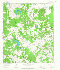
1964 Map of Butler
USGS Topo · Published 1967About this map
Butler serves as a central hub in this mid-1960s survey, situated where the landscape begins its descent toward the Trinity River floodplains. The community is anchored by the Butler High School and a nearby Roadside Park, reflecting a period of established rural infrastructure. To the north, the settlement of Sand Hill and its namesake Sand Hill Church and Sand Hill Cemetery mark the higher ground above the creek drainages.
Find a feature on this map
32 named features on this map. Tap any name to fly to it.
Don’t see what you’re looking for? This feature index may not catch every label — zoom into the map to look around manually.
Map Details
Editions of this 1964 Butler Map
3 editions found
Other maps of this area

1919 · Fairfield
USGS Topo · 1:62,500

1949 · Tennessee Colony
USGS Topo · 1:62,500

1950 · Tennessee Colony
USGS Topo · 1:62,500

1953 · Palestine
USGS Topo · 1:250,000

1954 · Waco
USGS Topo · 1:250,000

1955 · Waco
USGS Topo · 1:250,000

1957 · Palestine
USGS Topo · 1:250,000

1961 · Young
USGS Topo · 1:24,000

1964 · Long Lake
USGS Topo · 1:24,000

1964 · Oakwood
USGS Topo · 1:24,000