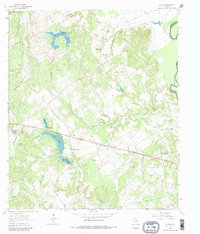
1964 Map of Butler
USGS Topo · Published 1981About this map
Butler sits near the heart of this East Texas survey, serving as a focal point for a landscape defined by small rural congregations and water management. Several small lakes and impoundments including Indian Creek Lake, Red Lake, and Burleson Lake pattern the terrain, suggesting a reliance on local water storage for agriculture and recreation. The social fabric of the era is preserved through numerous family and community landmarks, from Butler High Sch to a network of country churches like Waymon Chapel, Owens Chapel, and Pilgrim Rest Ch. To the east, the Trinity River forms the natural boundary between Freestone and Anderson counties, where the bottomlands of the Gaston Branch and Saline Branch meet the river's edge. This 1960s mapping captures a transition in the region's land use, showing the Daniel Memorial Childrens Home and various cemeteries like Sand Hill Cem that ground the local genealogy of this pocket of the Post Oak Savannah.
Find a feature on this map
34 named features on this map. Tap any name to fly to it.
Don’t see what you’re looking for? This feature index may not catch every label — zoom into the map to look around manually.
Map Details
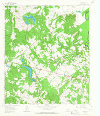
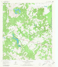
Editions of this 1964 Butler Map
3 editions found
Other maps of this area

1919 · Fairfield
USGS Topo · 1:62,500

1949 · Tennessee Colony
USGS Topo · 1:62,500

1950 · Tennessee Colony
USGS Topo · 1:62,500

1953 · Palestine
USGS Topo · 1:250,000

1954 · Waco
USGS Topo · 1:250,000

1955 · Waco
USGS Topo · 1:250,000

1957 · Palestine
USGS Topo · 1:250,000

1961 · Young
USGS Topo · 1:24,000

1964 · Long Lake
USGS Topo · 1:24,000

1964 · Oakwood
USGS Topo · 1:24,000