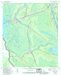
1968 Map of Butte La Rose
USGS Topo · Published 1998About this map
The Atchafalaya Basin dominates this landscape, where the shifting waters of the Atchafalaya River and the Upper Grand River create a complex network of bayous and lakes. The settlement of Butte La Rose sits at a critical bend in the river, protected by an extensive Levee system that defines the boundary between the active river channel and the surrounding swamp. To the north, the small community of Atchafalaya and the locality of Pelba are positioned near the Whisky Bay Pilot Channel, illustrating the mid-20th-century efforts to manage water flow and navigation through the spillway.
Find a feature on this map
38 named features on this map. Tap any name to fly to it.
Don’t see what you’re looking for? This feature index may not catch every label — zoom into the map to look around manually.
Map Details
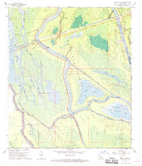
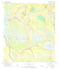
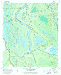
Editions of this 1968 Butte La Rose Map
4 editions found
Other maps of this area

1935 · Osca Bayou
USGS Topo · 1:62,500

1939 · St. Martinsville
USGS Topo · 1:62,500

1940 · Arnaudville
USGS Topo · 1:62,500

1941 · Loreauville
USGS Topo · 1:62,500

1953 · Cow Bayou
USGS Topo · 1:24,000

1953 · Maringouin
USGS Topo · 1:24,000

1954 · Loreauville
USGS Topo · 1:62,500

1954 · Baton Rouge
USGS Topo · 1:250,000

1955 · Osca Bayou
USGS Topo · 1:62,500

1956 · Baton Rouge
USGS Topo · 1:250,000