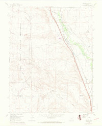
1961 Map of Buttes
USGS Topo · Published 1970About this map
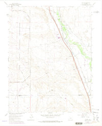
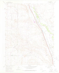
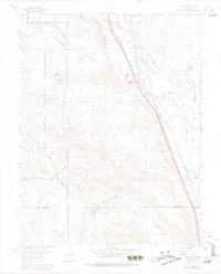
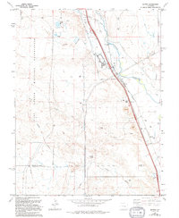
The Fort Carson Military Reservation dominates the western half of this 1961 survey, where the prairie meets the high plains terrain along the El Paso Co Pueblo Co border. To the east, the landscape is defined by the vital corridors of the Atchison Topeka and Santa Fe and the Denver and Rio Grande Western railroads, which parallel the course of Fountain Creek. This area was an important agricultural and transit hub, evidenced by the extensive network of irrigation features such as the Hanover Ditch No 14, Tom Wanless Ditch, and Wigwam Ditch.
Find a feature on this map
33 named features on this map. Tap any name to fly to it.
Don’t see what you’re looking for? This feature index may not catch every label — zoom into the map to look around manually.
Map Details
Editions of this 1961 Buttes Map
8 editions found
Other maps of this area

1891 · Pueblo
USGS Topo · 1:125,000

1893 · Colorado Springs
USGS Topo · 1:125,000

1894 · Pueblo
USGS Topo · 1:125,000

1896 · Pueblo
USGS Topo · 1:125,000

1897 · Pueblo
USGS Topo · 1:125,000

1909 · Colorado Springs
USGS Topo · 1:125,000

1942 · Colorado Springs
USGS Topo · 1:125,000

1948 · Timber Mountain
USGS Topo · 1:24,000

1948 · Fountain SE
USGS Topo · 1:24,000

1948 · Fountain
USGS Topo · 1:24,000