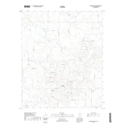
2019 Map of Buzzard Roost Knob
USGS Topo · Published 2019About this map
Buzzard Roost Knob and the surrounding Belknap Hills dominate this portion of Montague County, where the terrain breaks into numerous drainages such as Victoria Cr and E Belknap Cr. The landscape is a mix of agricultural tracts and rugged elevations, marked by prominent points like Queens Peak in the southwest and Colt Mtn to the north. Smaller communities and rural hubs are evidenced by the presence of Red Mound and the Sky Acres Airport. Local history is anchored by sites like Oak Hill Cem, situated along Oak Hill Cemetery Rd. A complex network of farm-to-market roads, including FM 1816 and FM 1806, provides the primary infrastructure connecting these remote ranching and residential areas. Water resources are primarily represented by stock ponds and small creek systems, notably the Barrel Springs Cr and the waters of Hinds Clark Lake.
Find a feature on this map
53 named features on this map. Tap any name to fly to it.
Don’t see what you’re looking for? This feature index may not catch every label — zoom into the map to look around manually.
Map Details
Editions of this 2019 Buzzard Roost Knob Map
This is the sole edition of this map. No revisions or reprints were ever made.
Other maps of this area

1905 · Montague
USGS Topo · 1:125,000

1954 · Sherman
USGS Topo · 1:250,000

1958 · Sherman
USGS Topo · 1:250,000

1960 · Buzzard Roost Knob
USGS Topo · 1:24,000

1961 · Stoneburg
USGS Topo · 1:24,000

1961 · Salona
USGS Topo · 1:24,000

1961 · Brushy Mound
USGS Topo · 1:24,000

1961 · Montague
USGS Topo · 1:24,000

1961 · Bowie
USGS Topo · 1:24,000

1968 · Nocona
USGS Topo · 1:24,000