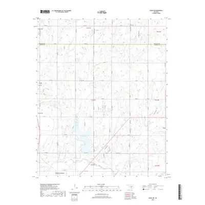
2018 Map of Byars SW
USGS Topo · Published 2018About this map
Pauls Valley Lake serves as a central landmark in this portion of south-central Oklahoma, situated north of the Pauls Valley city limits. The landscape is defined by the winding course of the Washita River in the south and an intricate drainage system including Washington Creek, Peavine Creek, and Owl Creek. These waterways dictate the local topography and have long influenced the development of rural homesteads and agricultural plots throughout Garvin Co and Mcclain Co.
Find a feature on this map
65 named features on this map. Tap any name to fly to it.
Don’t see what you’re looking for? This feature index may not catch every label — zoom into the map to look around manually.
Map Details
Editions of this 2018 Byars SW Map
This is the sole edition of this map. No revisions or reprints were ever made.
Other maps of this area

1898 · Pauls Valley
USGS Topo · 1:125,000

1902 · Pauls Valley
USGS Topo · 1:125,000

1957 · Ardmore
USGS Topo · 1:250,000

1963 · Ardmore
USGS Topo · 1:250,000

1964 · Byars
USGS Topo · 1:24,000

1965 · Pauls Valley NE
USGS Topo · 1:24,000
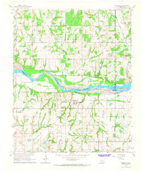
1965 · Rosedale
USGS Topo · 1:24,000

1965 · Byars SW
USGS Topo · 1:24,000
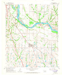
1965 · Wayne
USGS Topo · 1:24,000

1965 · Pauls Valley
USGS Topo · 1:24,000