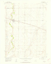
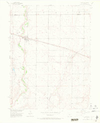
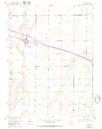
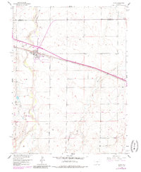
1956 Map of Byers
USGS Topo · Published 1958About this map
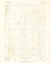
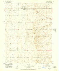
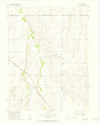
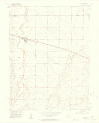
The high plains of eastern Arapahoe County are defined by the intersection of rail transport and river drainage in this mid-century survey. Byers serves as the primary hub, situated where the Union Pacific railroad cuts across the wide, braided valley of West Bijou Creek. The town's infrastructure, including the local Waterworks and a nearby Cem, reflects its role as a key stop along the tracks during a period of steady growth in the Missouri River Basin.
Find a feature on this map
9 named features on this map. Tap any name to fly to it.
Don’t see what you’re looking for? This feature index may not catch every label — zoom into the map to look around manually.
Map Details
Editions of this 1956 Byers Map
5 editions found
Other maps of this area

1950 · Roper School
USGS Topo · 1:24,000

1951 · Roper School
USGS Topo · 1:24,000
1951 · Leader SE
USGS Topo · 1:24,000

1952 · Leader SW
USGS Topo · 1:24,000

1953 · Denver
USGS Topo · 1:250,000
1955 · Strasburg
USGS Topo · 1:24,000
1956 · Peoria
USGS Topo · 1:24,000
1956 · Byers
USGS Topo · 1:24,000

1957 · Denver
USGS Topo · 1:250,000

1958 · Denver
USGS Topo · 1:250,000